Science of Geoanalytics for Business
Published on
The GeoAnalytics product is based on scientific principles and empirical dependencies of metrics in the properties of geo-objects on their location.
Scientific Principles of Geoanalytics
- The principle of spatial autocorrelation — closely located objects have more similar characteristics than distant ones, which allows predicting metric values for objects without direct data collection.
- The principle of decreasing influence with distance — the influence of an object on surrounding areas decreases with increasing distance (distance decay), which is important when modeling coverage areas and transport accessibility.
- The principle of dependence on scale and zonal aggregation (MAUP) — the results of spatial analysis change when the map scale or aggregation units are changed; GeoAnalytics implements methods for cross-checking data at different levels of detail.
Related disciplines
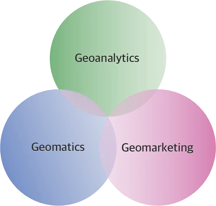
Solving complex business problems requires not only geoanalytics, but also related areas:
- Geoanalytics is the science of collecting, processing and analyzing spatial data to extract insights and support decision-making.
- Geomarketing is the use of geoinformation technologies to optimize marketing strategies, segment markets and analyze customer flows.
- Geomatics is the combination of remote sensing, navigation and cartography methods for managing and visualizing geospatial information.
Practice of applying geoanalytics in business
GeoAnalytics allows you to effectively solve problems with empirical justification of the results:
- Classification of buildings by purpose (offices, warehouses, retail).
- Segmentation of territories by levels of key metrics.
- Creation of "smart indices" to simplify complex data and accelerate decision-making.
- Real estate selection: ranking objects by criteria and filtering by a set of features.
- Comparison of objects by infrastructure level and other indicators on the map.
- Geoanalysis of road surface conditions for repair planning.
- Search for optimal locations for retail based on transport accessibility.
Microservice architecture for geoanalytical research
Smart Indexes uses a microservices architecture for geoanalytics. At each stage of the workflow, the consistency and accuracy of analytical indices and other parameters are validated, both for conformance to the defined notation and by cross-checking against external, verified sources.
GeoAnalytics Product
The Smart Indexes team implements a comprehensive approach in the GeoAnalytics product:
- Analysis and developer rating by portfolio and reputation.
- Real estate selection based on investment strategy and key features.
- Geoanalysis of locations by infrastructure, price indices and transport accessibility.
- Report designer for generating custom analytical documents.
To expand practical knowledge, the Smart Indexes team presents Geoanalytics Cases — a collection of demonstration examples of solutions to typical problems to optimize costs and improve business efficiency.