Geo Monitoring for Investment Analysis
Published on
Overview
The Geo Monitoring panel is part of the Investment Analysis section in GeoAnalytics:
Left Panel > Analysis > Geo Monitoring.
It lets you configure a "radar" of price index metrics for rent or sale transactions over a geographic radius.
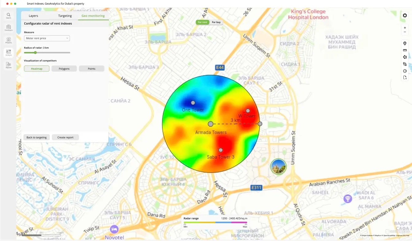 Geo Monitoring for Investment Analysis
Configuration
-
Measure
Select the metric from the dropdown (e.g., price per sq.m, Cap Rate)
-
Radius of Radar
Set the distance (in km) using the linear slider
-
Visualization of Competitors
Choose how to display comparables:
- Heatmap
- Polygons
- Points
The map radar updates automatically based on your configuration.
Legend & Interpretation
A legend panel at the bottom center of the map shows the color scale for your chosen metric:
Radar range: Min–Max for the selected metric (e.g., rent price: Min AED/sq.m – Max AED/sq.m)