Property segmentation on the map of Emirate Dubai
Team of Smart Indexes use Dubai’s cadastral data into smart location picks for investment analysis.
Team of Smart Indexes use Dubai’s cadastral data into smart location picks for investment analysis.
Emirate Dubai grows fast and unevenly. GeoAnalytics by Smart Indexes provides the instruments to segmentation of communities, master projects in the city into clear, comparable zones so investors balance upside and risk.
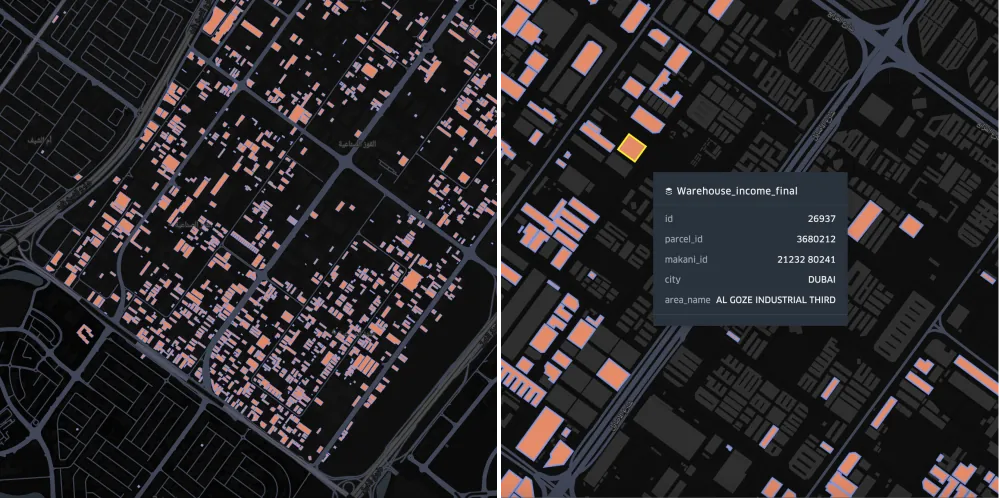 Details of warehouses at Dubai's area using engine Kepler.gl
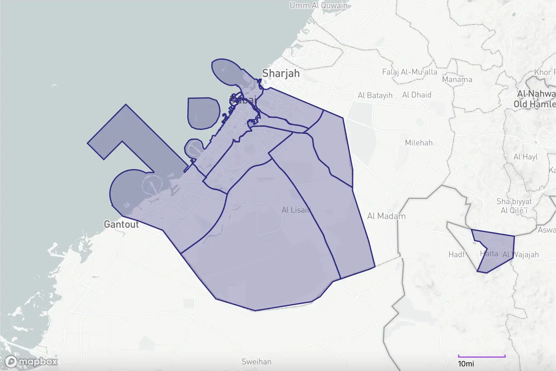
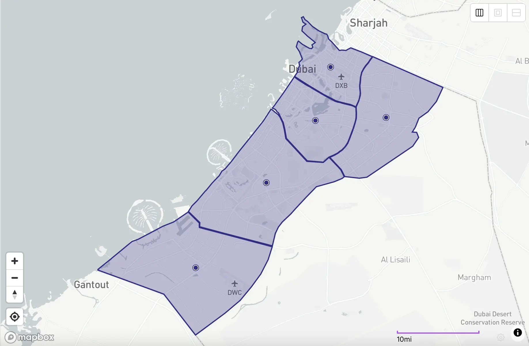
Total 9 administrative sectors of Emirate Dubai, UAE
Read more about GeoAnalytics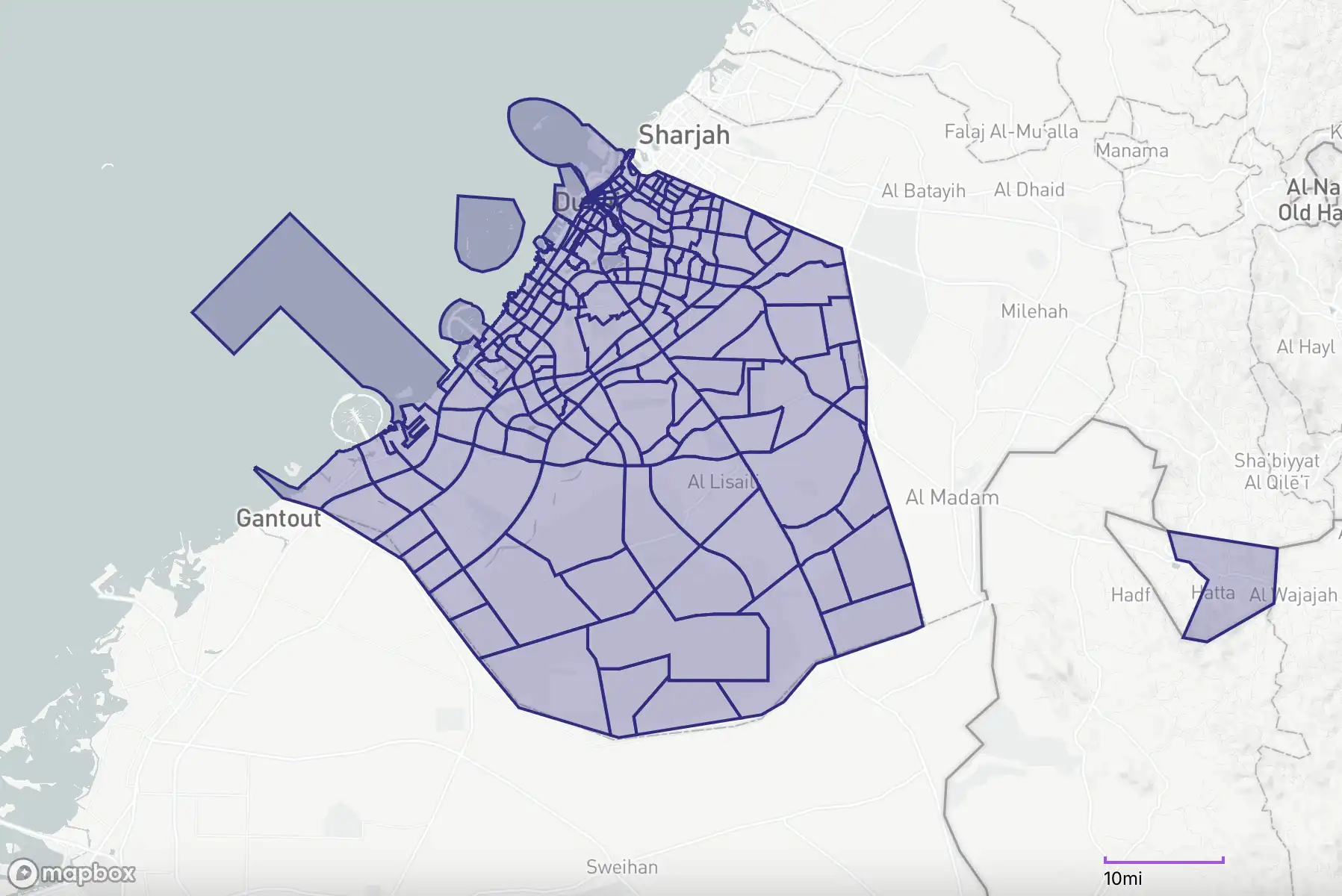
Total 221 communities of Emirate Dubai, UAE
Read more about GeoAnalytics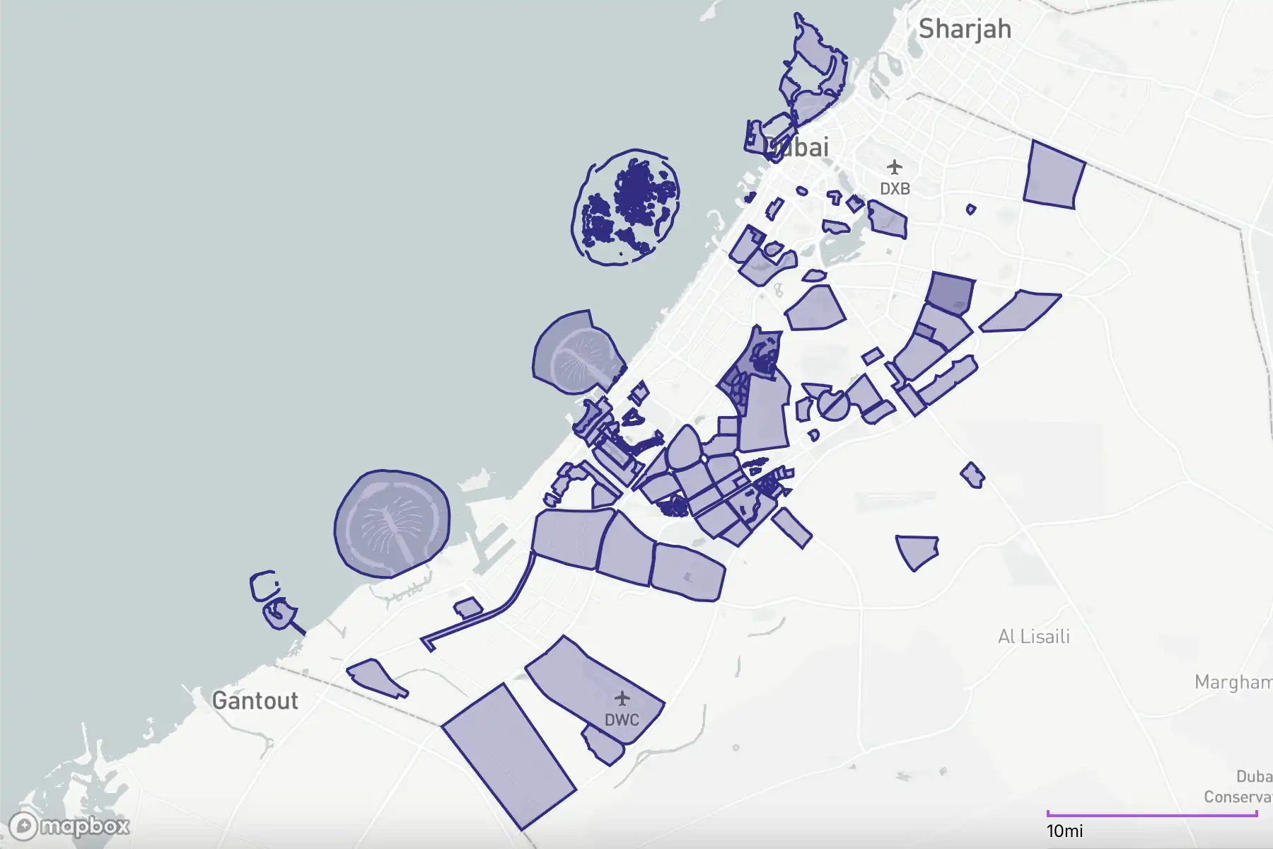
Total 146 master projects of development in Dubai
Read more about GeoAnalytics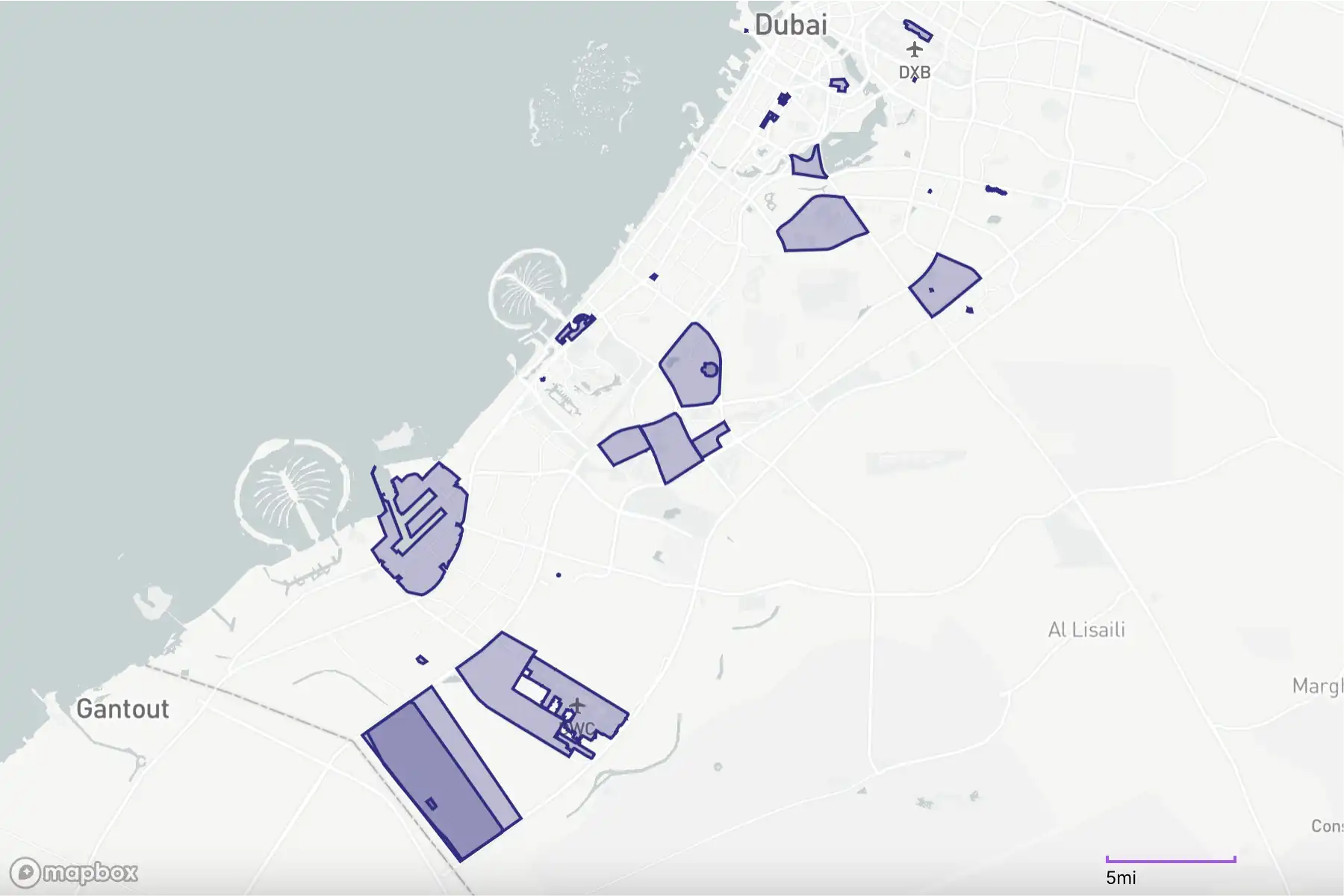
Total 31 free zones of Emirate Dubai, UAE
Read more about GeoAnalytics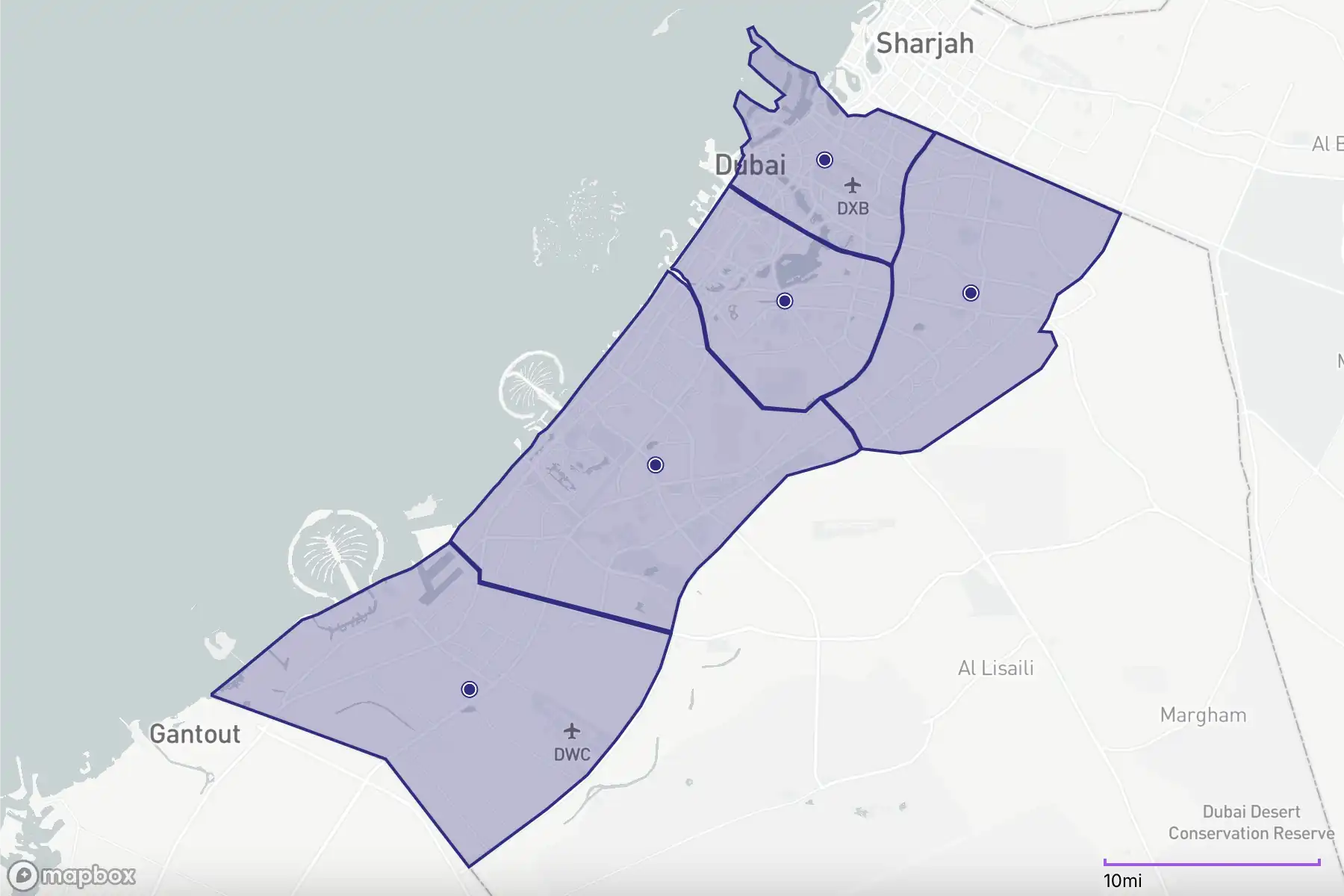
Total 5 zones of promising development of Dubai by 2040
Read more about GeoAnalytics| Layer | What we track |
|---|---|
| Cadastral layer | Plot shapes, land use, height, age |
| Infrastructure | Roads, metro stations, EV chargers, Makani Numbers |
| Associated risks | Flood zones, average crime rate, traffic accidents |
| Planning | Dubai Master Plan 2040 zoning |
All layers keep lat/long, ready for Kepler.gl, Mapbox or Google Maps.
Please read more about GeoAnalytics
| Index | What it means |
|---|---|
| Property Price Indexes | Price vs. expected rent |
| Transport Accessibility Rate (TAR) | Metro distance, road speed, EV chargers |
| Downside Risk (DRI) | Flood × crime × accidents |
Analytical rates run 0‑100, making map colours instantly clear.
Please read more about Property Price Indexes in Knowledge Bases
Geo analytical methodology consist of next tasks.
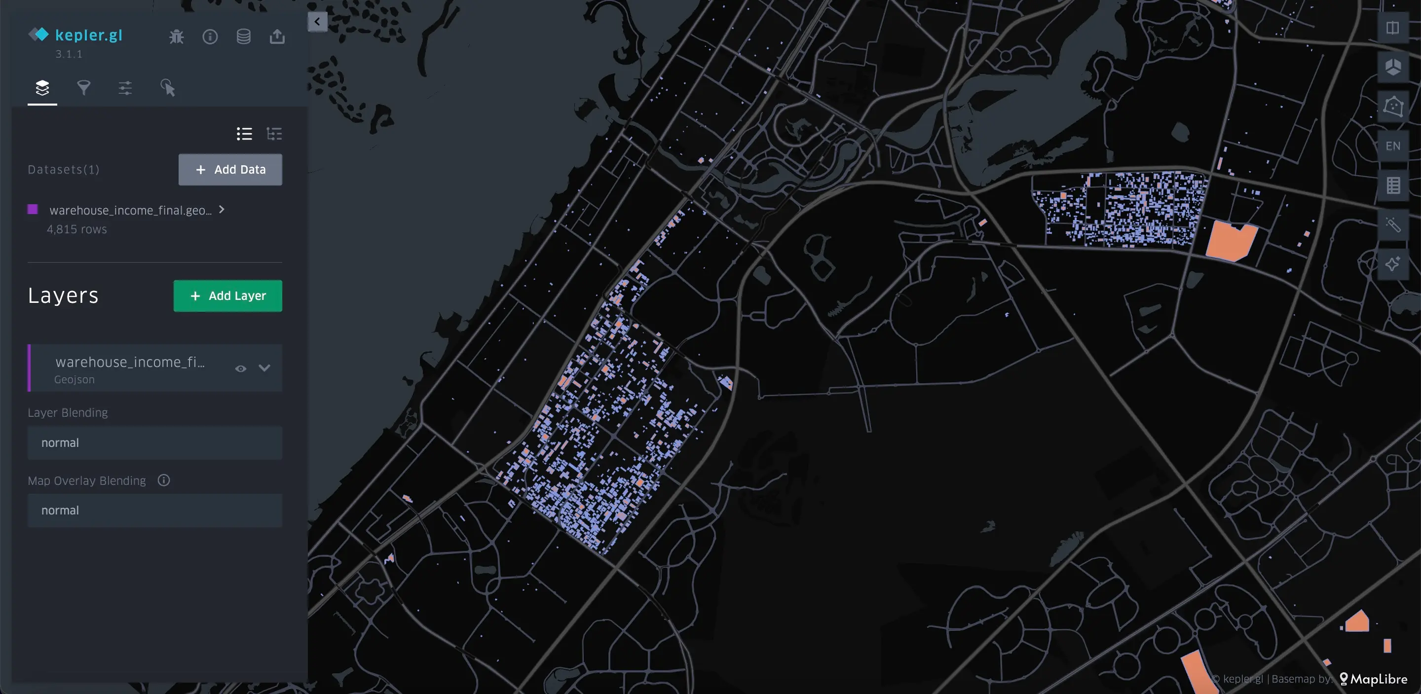 Warehouses of Dubai on map using engine Kepler.gl
| Sector | Need | Answer |
|---|---|---|
| Retail | Store near metro, Cap Rate > 7% | Filter min risk ranges. Commercial Cap Rate max. |
| Logistics | Warehouse outside 100‑year flood, < 20 min to Jebel Ali | Overlay flood + travel time |
| Investors | USD 500k, max yield strategy | Rank plots by score |
Makani Search API maps each plot to an address of building's entry; nightly updates keep scores fresh.
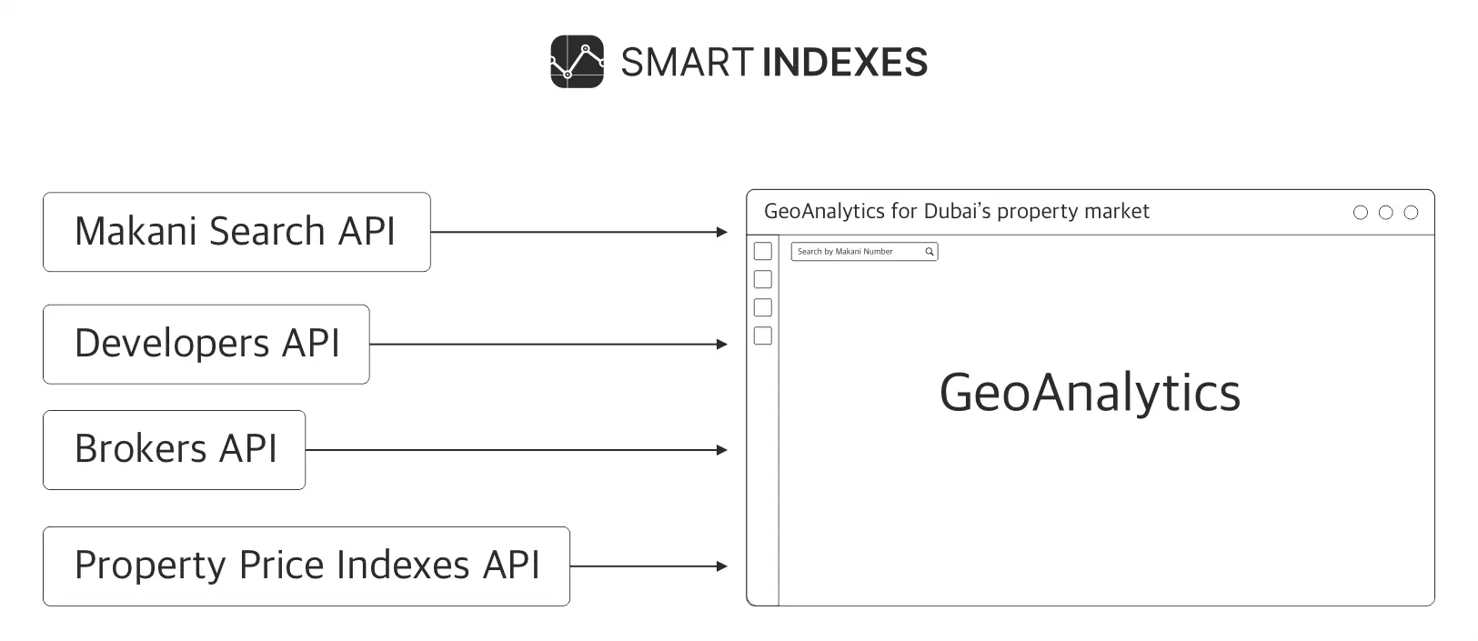 Scheme of Smart Indexes API connections to GeoAnalytics
Official Master Plan of Dubai 2040 on map can take the hidden attractions of some locations in future.
 Zones of Master Plan 2040 by Government of Dubai
The team of Smart Indexes summarizes the key capabilities of GeoAnalytics for segmentation and analysis of data on a map of the studied area:
Subscribe to our Telegram channel and stay up to date with Smart Indexes updates.
SubscribeSmart Indexes uses cookies to enhance your experience and tailor content based on our Privacy Policy.